

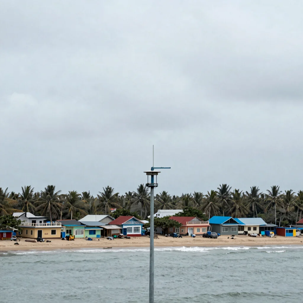

When a cyclone graphic appears on your phone, the line across the map can look more certain than the forecast really is. The projected track is one part of the picture; rainfall, wind and coastal flooding can affect places well beyond that line. For readers following a storm in India, the useful question is not only where it may go, but what local authorities are advising people to do.
A track is not a boundary
Forecast maps show an expected route, often with an area indicating uncertainty around it. A small shift in that route can change which districts face the greatest risk, while severe weather may extend outside the central projected path. Treat the map as a forecast that can be refined, not as a boundary between affected and unaffected places.
Follow the local impacts
Wind speed is only one measure of danger. Heavy rain can cause flooding inland, and coastal areas may face storm surge or rough seas; the mix depends on the storm and the local coastline. Check the latest India Meteorological Department bulletin alongside district and state advisories, which can translate a regional forecast into guidance for particular communities.
Check what changed
With each update, look for the issue that has actually shifted: the expected track, timing, intensity or area under warning. An updated forecast does not automatically mean conditions have worsened everywhere, just as a storm moving away from one location does not make every local risk disappear. For decisions about travel, fishing or evacuation, follow instructions from the relevant authorities rather than an isolated map or social post.

Leave a Reply